 by
The Ulster County Transportation Council is asking residents to identify dangerous roads, intersections and other transportation safety concerns as it develops a countywide plan to reduce serious and fatal crashes.
The initiative, called “Safe Roads Safe Ulster,” includes a public survey and interactive mapping tool where residents, visitors and others who travel throughout the county can report problem areas and suggest improvements.
Brian Slack, the council’s deputy director of planning for transportation, said the effort updates a 2018 safety plan to meet requirements for participation in the federal Safe Streets and Roads for All program, established under the bipartisan infrastructure law.
The council is conducting a comprehensive analysis of crash data, including where crashes occur and what types are most common.
One major concern is roadway departure crashes, which occur when vehicles leave the road and strike fixed objects. Slack said they are a leading cause of fatal and serious injury crashes in Ulster County.
The county’s predominantly rural road network, with posted speed limits often between 45 and 55 mph, winding roads and changing weather conditions, contributes to the risk.
Ulster County also has a higher rate of fatal and serious injury crashes than neighboring Dutchess and Orange counties, Slack said.
“We don’t know exactly the reason why that is, but that’s primarily why we’re doing the study, to really dive into those data trends and start to parse out the different types of crashes, where they’re occurring, and seeing if we can identify those clusters to then have different types of improvement strategies that we can use that will ideally reduce those types of crashes,” Slack said.
But crash statistics don’t tell the entire story.
“It’s going to be a lot of instances near misses,” Slack said, noting that close calls at intersections and other locations may not appear in official crash records.
Residents can identify places where they believe improvements are needed, including better signage, road markings, visibility, sidewalks or shared-use bicycle paths.
Slack said he is particularly interested in hearing from residents in rural communities, including Wawarsing, Kerhonkson, Shandaken, Denning, and Hardenburgh, where lower traffic volumes may mean safety concerns receive less attention.
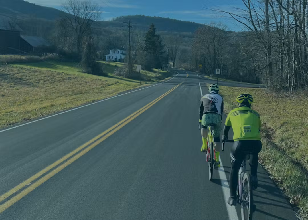
The plan will also consider pedestrians and cyclists, whom transportation planners describe as vulnerable road users because they face a greater risk of serious injury or death when struck by a vehicle.
Public engagement and data analysis will continue through the end of 2026. The council expects to release a draft plan in spring 2027 for public review and comment.
The recommendations will help guide future transportation projects and applications for state and federal funding.
“Design is really what makes the biggest difference for safety outcomes,” Slack said. “We really want to hear people’s input on where they feel some designs could be improved on the roadway.”